


The complete mobile mapping system: fast, accurate scene capture
Experience effortless precision with Artec Jet. This autonomous LiDAR system uses AI and SLAM to map complex, GPS-denied sites in minutes, delivering survey-grade accuracy without the manual hassle.


Artec Jet LiDAR Scanner Features
From massive factories to hazardous, hard-to-reach shafts, Artec Jet scales to any challenge. It’s a single, rugged solution built to tackle your most complex projects and dangerous environments with ease.

Artec Jet Applications & Benefits
Master every project with Artec Jet. Featuring seven SLAM modes and a unified workflow, this single device adapts instantly to any challenge, ensuring you're always ready for what’s next.

Backpack
Free your hands during longer surveys with a backpack SLAM LiDAR scanner. Pair with RTK or ground control points (GCP) for georeferencing above ground - and continue seamlessly into GPS-denied zones in the same session.

Handheld
Using a handheld SLAM LiDAR scanner, you can walk through and scan any space. At 1.57 kg, Jet is effortless to carry around buildings, facilities, and confined spaces.

Robot
Mount onto platforms like the Boston Dynamics Spot to map confined or hazardous spaces without putting personnel at risk.

Telescopic pole
Reach ceiling voids, compact spaces, and infrastructure details up close. The telescopic pole extends Artec Jet's range without a drone, improving point density in hard-to-access areas.

Cage
Lower your SLAM LiDAR scanner into vertical shafts, voids, and enclosed spaces. The stainless steel frame protects from impacts and slides smoothly to avoid snags.

Vehicle mount
Capture roads, tunnels, large facilities, and linear assets at driving speed. RTK integration provides automated georeferencing and drift correction over distance.

Drone
Access areas that are dangerous, elevated, or beyond line of sight with an aerial mapping solution. AI-powered autonomy provides collision avoidance and guided exploration - even in complete darkness.
Autonomous mapping beyond human reach
Take the pilot out of the equation and let Artec Jet do the flying. Its AI engine navigates GPS-denied and inaccessible zones autonomously — just set your waypoints and let the drone safely bypass obstacles to get the job done.


Turn your physical world into digital twins in minutes
Go from real scenes to digital twins in minutes. Whether it’s mining, construction, or public safety, Artec Jet simplifies as-built documentation and inspections with total precision.
Paired with Artec Ray II or Artec Leo, you get a seamless pipeline that captures everything from massive sites to the finest details in one effortless workflow.
Example Scans
Gather accurate data anywhere, in any conditions, without having to rely on external infrastructure such as GPS mapping and guidance. Pick on the tabs below to see example scans:
Underground
Urban Mapping
Outdoor Structures
Indoor Facilities
Industrial Space
Artec Jet Applications
Discover how the Artec Jet is used for a variety of applications
Artec Jet Industries
Discover how the Artec Jet is used in a variety of industries
Artec Jet Specifications
Review the specifications for the LiDAR scanner from Artec
| Mapping | |
|---|---|
| Mapping method | SLAM-based LiDAR mapping, ±0.03% drift |
| LiDAR sensing range | 0.5-300 m (1.6-984 ft) |
| LiDAR accuracy | ±10 mm (3/8 in) |
| Mapping accuracy (general) | ±15 mm (19/32 in) |
| Mapping accuracy (indoor/underground) | ±10 mm (3/8 in) |
| Change detection capability | ±5 mm (7/32 in) |
| Field of view | 360° × 290° |
| Acquisition (single return) | Up to 640,000 points/second |
| Acquisition (triple return) | Up to 1,920,000 points/second |
| Max travel speed (vehicle) | 60 km/h (37.3 mph) |
| Max travel speed (flight, above ground) | 5 m/s (16.4 ft/s) |
| Max travel speed (flight, underground) | 2 m/s (6.6 ft/s) |
| Start/stop while walking or hovering | Yes |
| Laser class | Class 1 (eye safe) |
| Physical & environmental | |
|---|---|
| Ingress protection | IP65 |
| Operating temperature | -10 to 45°C (14-113°F) |
| Weight | 1.57 kg (3.46 lb) |
| Power | 14-54 V, 64W (battery or auxiliary) |
| Onboard storage | 512 GB (~16 hrs) |
| Quick release mount | Yes |
| Deployment modes | Handheld, backpack, drone, vehicle, cage, telescopic pole, robot |
| Output & file formats | |
|---|---|
| Point cloud formats | LAS, LAZ, PLY, E57 |
| Outputs | Full resolution point cloud, decimated point cloud, trajectory file |
| Point attributes | Intensity, range, time, return number (strongest, first & last), ring number, RGB/true colour (optional) |
| Autonomy & safety | |
|---|---|
| Flight modes - Pilot Assist | Non-GPS flight, position hold, assisted flight, collision avoidance, regulated flight speed |
| Flight modes - Autonomous | Autonomous navigation to waypoints |
| AL2 waypoint types | 2D, 3D, planar, height |
| AL2 navigation modes | Guided exploration, local and global path planning |
| Collision avoidance FOV | 360° × 360° |
| Collision avoidance range | 1.2-40 m (3.9-131 ft) |
| Min. obstacle detection | ≥2 mm wire |
| In-flight adjustable safety distance | Yes |
| Return-to-home | Low battery / excessive dust trigger |
| Supported drones |
|---|
| DJI M300, DJI M350, Freefly Astro Max |
| Autopilot compatibility |
|---|
| DJI M300, DJI M350, Freefly Astro Max |
From site to component in one ecosystem
Artec Jet expands the Artec 3D ecosystem to cover everything from entire sites to component geometry, in one seamless workflow that delivers detail exactly where it's needed, accurately and time-efficiently.
Scan your area with Artec Jet
Capture spatial context and site layout.

Artec Jet Environment Scan


Artec Twins: Turn data into actionable insights
Artec Twins is a processing and visualization platform built for large-scale 3D data that powers the full Artec Jet workflow from raw point cloud capture to analysis-ready output.

Artec Jet LiDAR Scanner FAQs
Recommended Laptop Hardware - Dell Pro Max 18 Plus

- Processor: Intel® Core™ Ultra 9 285HX 24 core, Turbo Boost up to 5.5GHz (55W)
- Chassis: 18″ QHD+ 2560×1600, 120Hz, 500nits, 100% DCI-P3 screen, 8MP IR Camera
- Operating System: Windows 11 Professional 64-bit
- Memory: 64GB: 2x32GB, DDR5, 6400 MT/s, CSoDIMM RAM
- Graphics Card: NVIDIA RTX PRO 4000 Blackwell 16GB GDDR7 Graphics
- Storage: 2TB Performance SSD Gen5, SED Ready
- Support: 3 years of Dell ProSupport and next business day on-site service
Latest 3D Scanning Resources

Meet the Experts: How TriMech Helps Engineers Solve Real-World Reverse Engineering Challenges
What is Reverse Engineering? Learn everything you need to know about the scan to CAD workflow in this webinar.
Accelerating Race Ready Engineering Through Digital Twins and Advanced Manufacturing
How Capone Motorsports cut design cycles in half and unlocked new performance potential.

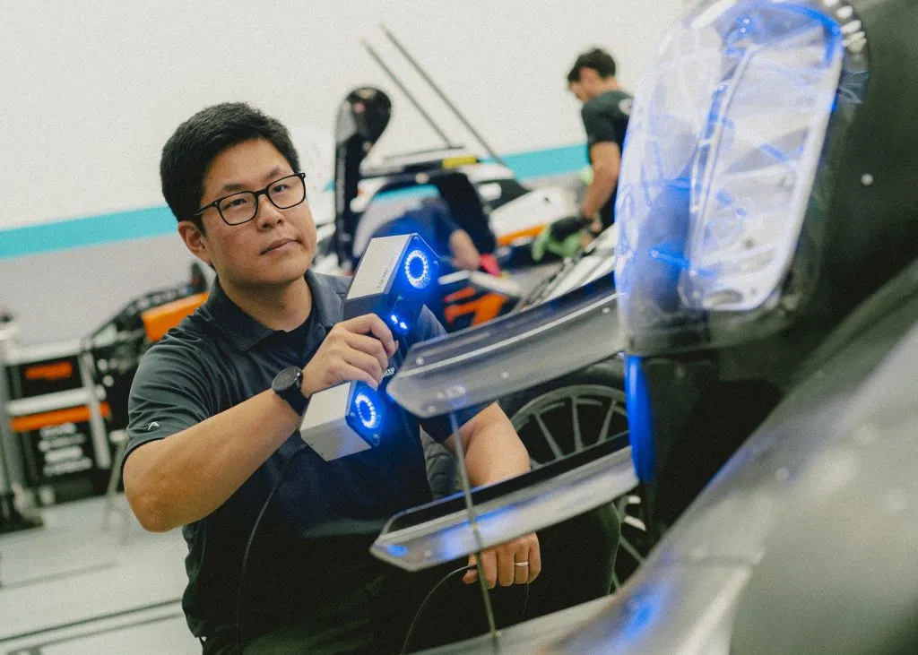
How Sam Hunt Racing Gained Time, Control, and Performance Through In‑House Metrology
A young and punchy NASCAR team builds engineering independence and protects on‑track performance with TriMech and ZEISS.

TriMech’s Additive Solutions Director Discusses Protecting and Maximizing ROI for Clients Who Purchase 3D Printers
Kelly Judson has spent his entire career connecting people to the right technology. Today, as Additive Solutions Director for TriMech, his team supports clients before…
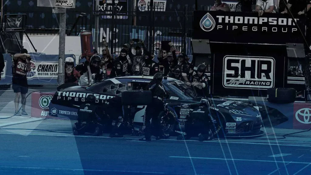
How 3D Scanning Drives Sam Hunt Racing Performance to New Heights
As Sam Hunt Racing prepares for the 2026 season, they’re adding a 3D scanning department to help crew chiefs, engineers, and mechanics better understand each…
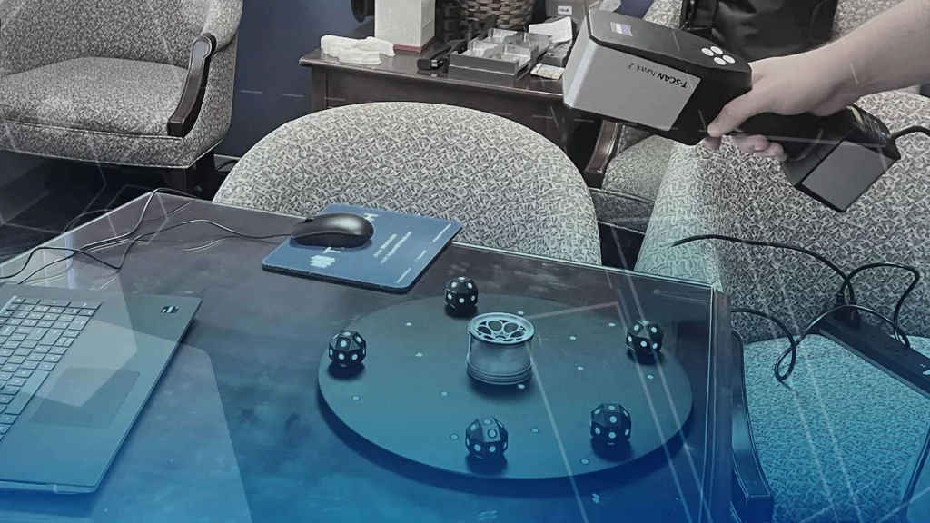
Science in the Shop Leads to Better Performance on the Racetrack
Urethane casting project illustrates a variety of TriMech technologies, services, and skills Tim Amato is a Cast Urethane Technician at TriMech’s Advanced Manufacturing location in Connecticut. He’s…
Industries we work with
TriMech Advanced Manufacturing is used in a wide variety of industries

Architectural Design & Construction
- Model making
- Urban planning
- Concepts

High Tech & Consumer Products
- Aesthetic and function testing
- Concepts and prototypes
- Sales and marketing models

Dental, Medical & Life Sciences
- Anatomical models
- Medical devices
- Orthopedics
- Prosthetics
- Surgical planning models

Industrial Products, Mold Tool & Die
- Jigs, fixtures, and assembly tooling
- Injection molding
- Silicone molding
- Sand and investment casting
- Thermoforming
More 3D Scanners

ZEISS Metrotom 1
Utilizing advanced computed tomography (CT) technology, it allows you to scan parts non-destructively and explore their internal features.
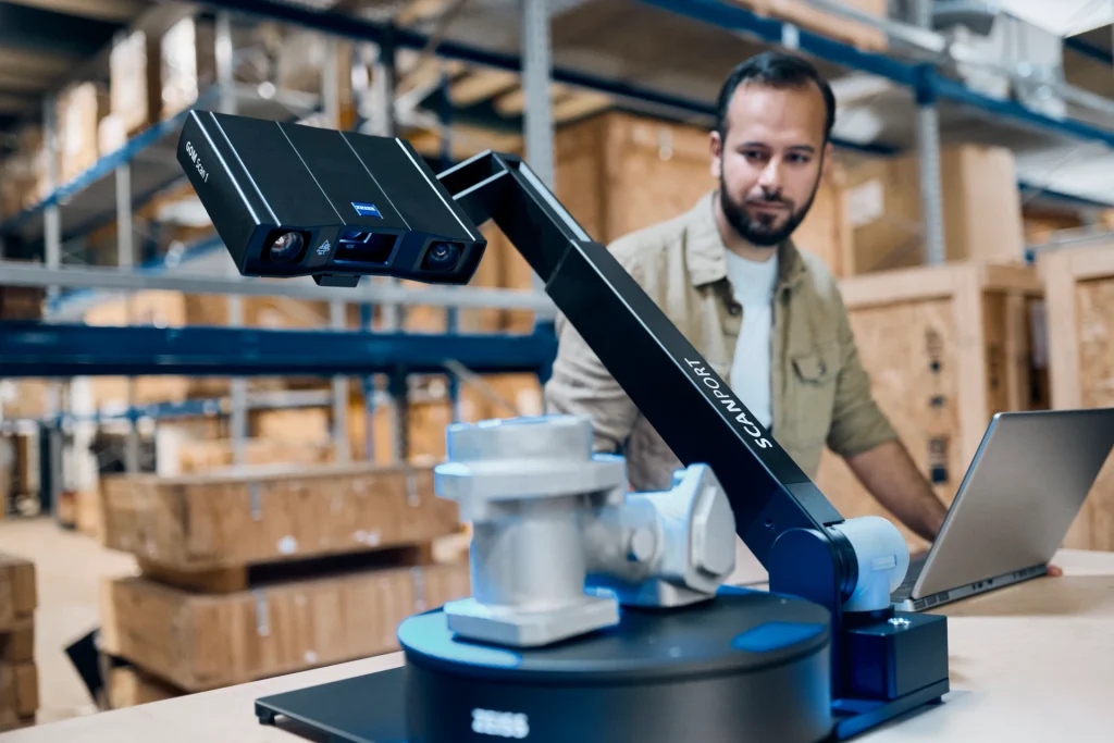
ZEISS ScanPort
Revolutionizing 3-Axis Automation for Flawless Data Capture – Precision at Your Fingertips
Artec Point
The Artec Point is a target-based 3D laser scanner that puts ISO-certified, metrology-grade 3D scanning in the palm of your hand.

